It’s all about the Big picture.
The world unfolds beneath you in stunning detail. Imagine capturing impossible angles, reaching new heights, and gathering critical data with unparalleled efficiency.
Drone services are revolutionizing the way we see and interact with our surroundings. From breathtaking aerial photography to life-saving inspections, drones offer a powerful perspective, opening doors to previously unimaginable possibilities.
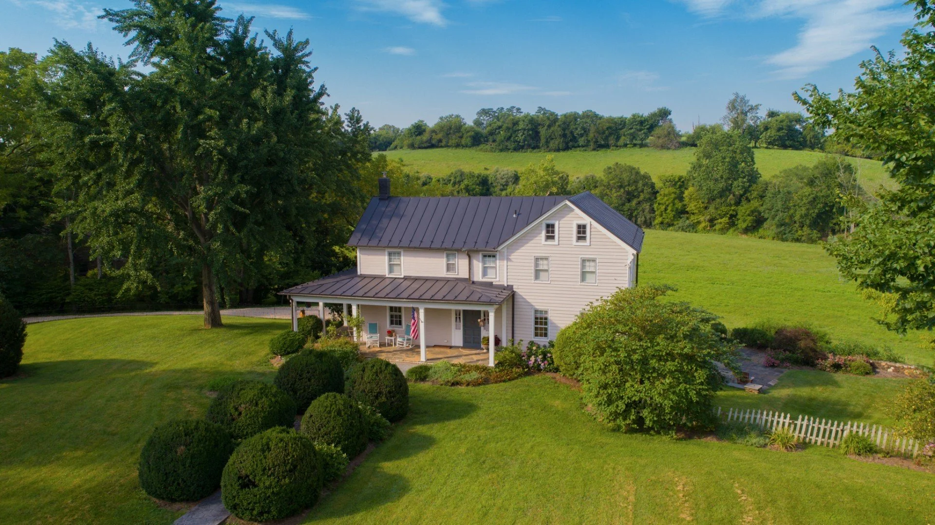
Give buyers a better sense of the property's location:
Aerial imagery can show buyers the property's location in relation to other landmarks, such as schools, parks, and shopping centers. This can help buyers to see how the property fits into the surrounding area and to decide if it is a good fit for their needs.

Ready to take the next step?
Ready to take flight with drone technology? Contact us today for a free consultation and unlock the potential of aerial solutions. We are committed to safety, innovation, and exceeding your expectations. Let's elevate your vision together.
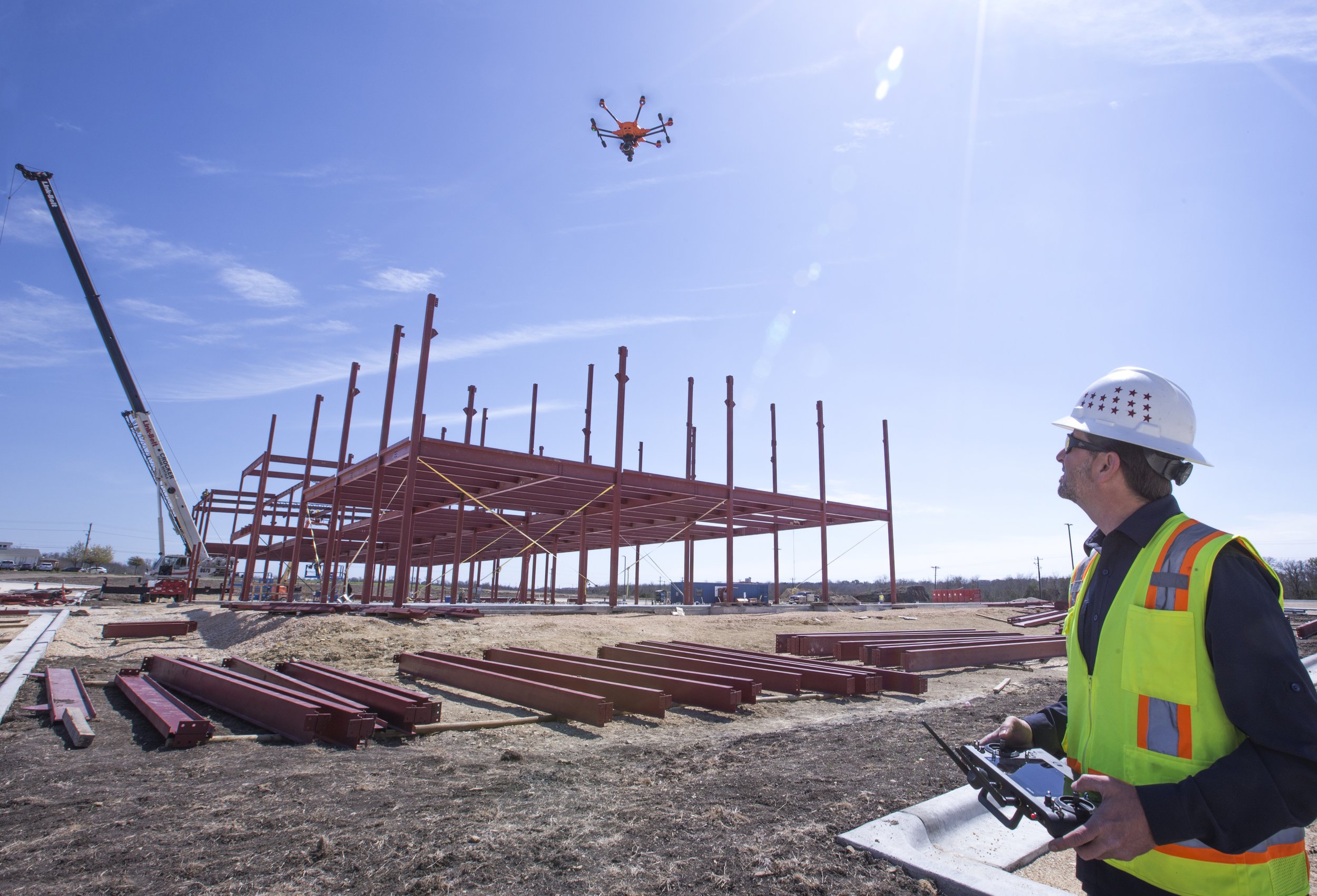
"Drone surveys on our project were a game-changer. Before, getting accurate volume measurements for stockpiles meant putting workers at risk. Now, with drone data, we can get highly detailed 3D models quickly and safely. This translates to better cost estimates, improved material management, and ultimately, a smoother running project."
- Greenbuild Construction
Let drone data and image collection work for you.
Want exclusive drone insights & deals? Sign up for our newsletter!